The GIS Center serves as the central hub for spatial science at UC Merced, offering expertise in research, analysis, education, data visualization, and geospatial archiving. It provides access to cutting-edge spatial software and equipment for both campus affiliates and external partners.
In addition to supporting day-to-day projects, the GIS Center plays a leading role in faculty-led and community-driven research projects involving geospatial technologies, fostering collaboration and innovation across disciplines.
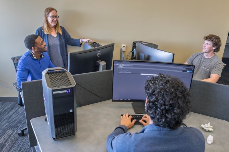
GIS Lab (KL 330)
Our new lab has 12 dedicated workstations for researchers and drop-in support for geospatial analysis, software technical support and data management projects.

GIS Resources & Technical Support
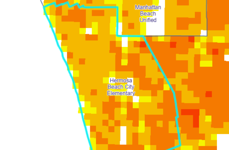
ArcGIS Pro and ArcGIS Online are both available to all UC Merced students, staff, and faculty with Single Sign-on. The GIS Center also can provide support with QGIS and ENVI.
Consulting Services
GIS Center professional and technical staff members consult with graduate students, faculty members, community partners, and non-UC affiliates and work closely with clients (UC and non-UC) in determining estimated time and materials for projects..
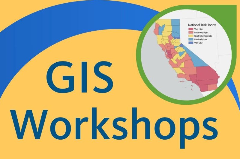
GIS Workshops & Events
A variety of workshops and training opportunities are available for the campus community.
News | Updates
Summer 2026
Mon - Fri 11am - 4pm
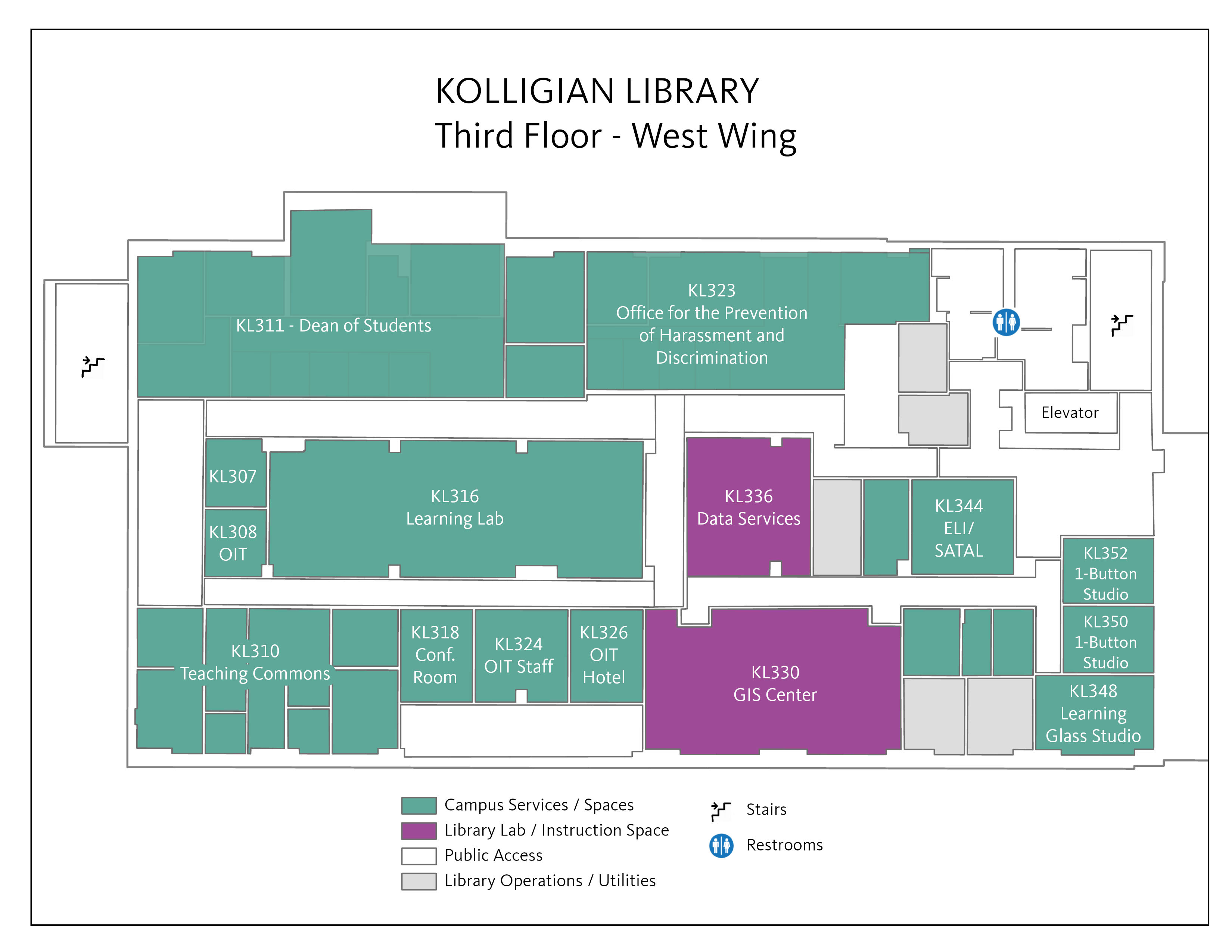
The GIS Center is now located in our newly expanded lab space in KL 330 in the Kolligian Library.
Need help?
Make an Appointment with a GIS Expert
Explore DATA
Find Maps and GIS sources in our A-Z Database